Tourist Routes at Viet Hai Village
 The land and sea roads to Viet Hai commune all go through the most beautiful landscapes of Cat Ba island, visitors can walk through the primeval forest of Cat Ba National Park or go by waterway through Lan Ha Bay.
 3.4 km long tourist route from Viet Hai Wharf to the commune center, (this route visitors can follow the old road to ride through Ham cave),
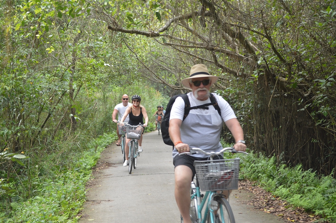
 Some models of eco-friendly homestays, models recreating the old scenes and production tools of the people of Viet Hai commune. The trunk road of Viet Hai commune is about 1.6 km long.
 Foot massage fish stream in the northeast of the commune (the road to Cat Ba National Park), in the rainy months of July, August, and September every year, with high water flow, there will be more fish.

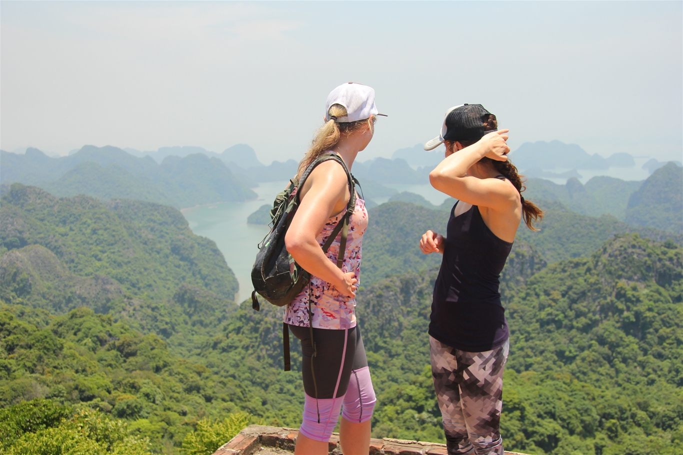
Walking, climbing in the forest to Peak 259 (Hai Quan Peak), now there is a telecommunications relay station, where you can see from above the panoramic view of Viet Hai commune, Lan Ha bay and the southern part of Ha Long Bay. It takes about 45 minutes to 1 hour to walk and climb the mountain from the commune to Naval Peak, pay attention to the slippery road when it rains.
 Walking, climbing in the forest to visit Tien Duc Cave, Frog Pond in Cat Ba National Park. Walking and climbing time from Viet Hai commune to frog pond is about 45 minutes to 1 hour. If you go from the commune, through the Frog Pond through the primeval forest, you will reach the National Park Center after about 3.5 hours
 Walking, climbing in the forest to visit Ang Vong, Cai Minh Tu on Lan Ha Bay, then kayaking or taking a boat to visit the bay.
 Navy Peak Sightseeing
Location here
In 1965, the Vietnamese Navy built a radar station at the peak of 259 (called Hai Quan peak in Viet Hai commune, 259 m above sea level), with the participation of Navy soldiers and personnel in the construction and people of Viet Hai commune.
 This radar station aims to control the sea and airspace of the key area of the Northeast gateway of the country, Hai Phong - Quang Ninh. Due to frequent bombardment by US aircraft, in 1968, Radar station 259 moved machinery and equipment to a new location adjacent to Tung Gau Bay.